TOPOGRAPHIC SURVEY
(LAND SURVEY)
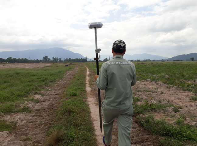
The purpose of topographic surveys is to collect data on natural and man-made features on the ground, as well as its elevation. Topographic maps are used to serve architects, engineers and construction companies in designing and planning works.
By always applying the latest surveying technologies, VHS surveyors create highly accurate and reliable products in a short time, helping customers save significant time and money.
One of the latest technologies applied at VHS is the use of the LiDAR system installed on manned aircraft to map a large area. This technology is extremely useful for large areas where it is difficult for humans to reach and complete surveys in a short time.
The LiDAR system is a Leica Citymapper-2 which will be mounted on a Cessna 208 aircraft.
Our Topographic surveying services are:
• Large area mapping using LiDAR technology.
• Topographic survey on a scale of 1/500, 1/2000.
• Establish the control point system according to TCVN standards.
• Photogrammetry survey by drone.
• Monitoring of movement and deformation of construction such as bridges, high buildings and Wind turbines.


